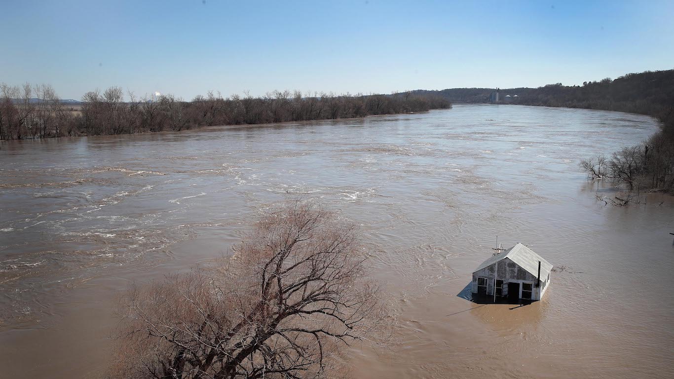
Flood Forecasting
River and lake flooding may be caused by short and intense rainfall events, long duration rainfall events, rapid snowmelt (including rain on snow events and glacier melt), ice blockages, landslides, earthquakes, dam/levee failures or a combination of these activities.
River flood forecasting involves predicting future of river and streamflow runoff conditions. In order to do this, hydrologists require varying combinations the following information:
- Snow depth and snow water runoff
- Current and forecasted meteorological conditions (i.e. temperature and precipitation)
- Current streamflow conditions
- Rate of change in streamflow
- Ice coverage and break-up timing
In Yukon, the main mechanisms that contribute to flooding include ice-jams, rain on snow events, and rapid snowmelt. Below are examples of locations that are particularly prone to flooding:
- Dawson City along the Yukon River, Rock Creek on the Klondike River, Old Crow on the Porcupine River and Mayo on the Stewart River are all prone to ice-jam flooding.
- Liard is prone to flooding triggered by rain on snow events.
- Yukon River headwaters are prone to flooding caused by rapid snowmelt.
For the communities that are prone to flooding, Environment Yukon monitors and predicts break up and water level conditions to allow sufficient lead time for the implementation of emergency measures. Regular updates on current water level conditions can be found on the Environment Yukon website.